LOCAL governments in Cebu should set up a reliable early warning system to better prepare their constituents in dealing with natural calamities, the regional Department of Science and Technology (DOST-7) said yesterday.
In yesterday’s Kapihan sa PIA (Philippine Information Agency) forum, DOST Regional Director Edilberto Paradela said they have more than 100 sensors in the province to monitor weather, water and earth movements.
He said they have six years’ worth of data acquired by these facilities that can help LGUs to map out their contingency plans and equipment to rescue and assist affected families.
Paradela said automated rain gauges, seismicity meters, and automated weather stations were installed all over Central Visayas as well as water level monitoring systems in Argao, Barili, Carcar, Talisay, Kansaga (Consolacion), and Toledo City.
“Because of the sensors, we can determine the flood-prone areas, the route of the flooding and the time when the rains would come nine hours before it happens,” he said.
Paradela said they also have equipment to determine the typhoon’s exact occurrence and direction in real time as well as unmanned seismicity meters located in Argao, Bogo, and in their Lapu-Lapu City office to detect earthquakes.
He said they are developing an improved flood-hazard and disaster map for Central Visayas in partnership with the University of San Carlos.
Paradela said this data is available to the public and they should use this data to better prepare themselves for emergencies and to avoid building homes in landslide-prone areas and sites with fault lines.
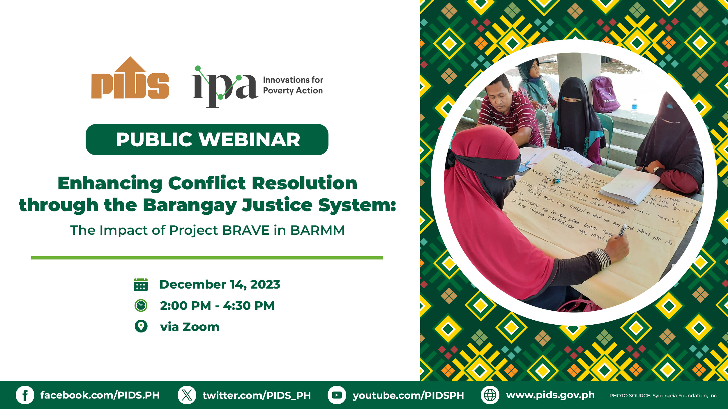
The forum at the Ramon Aboitiz Foundation Inc. (RAFI) plenary hall was held in line with the Philippine Institute for Development Studies’ (PIDS) 14th Development Policy Research Month (DPRM) which carried the theme “Building Resilience.”//

